
War-Risk Logistics Compression: The Collision of GNSS Spoofing and Closed Airspace
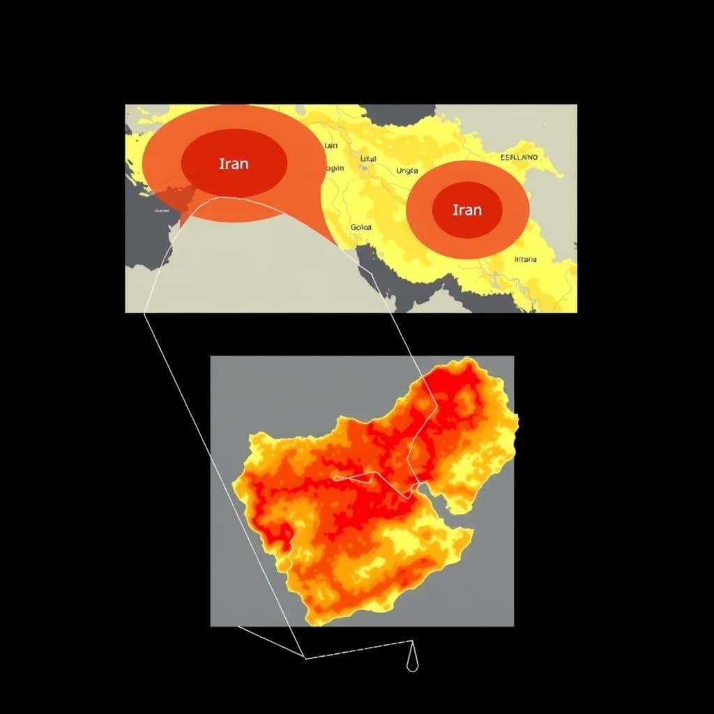
The deviation is no longer measured in meters; it is measured in geopolitical leverage. As of late 2025, commercial aircraft transiting the Middle East began reporting navigational shifts of up to 60 nautical miles—not due to wind or pilot error, but because their flight management systems were being fed coherent, weaponized lies.
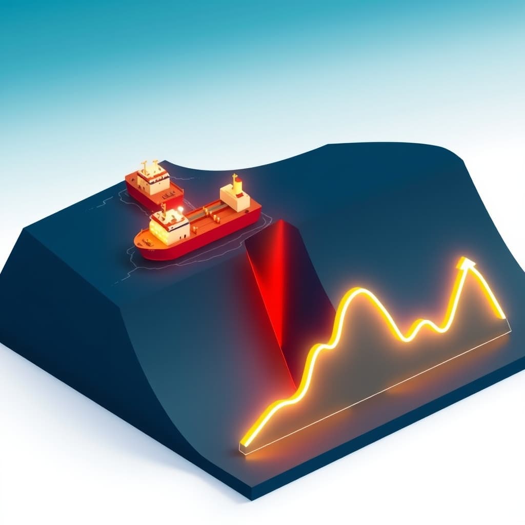
We are witnessing the end of the post-Cold War assumption that the global commons—air and sea—are neutral zones. We define this new reality as War-Risk Logistics Compression. It is the simultaneous squeezing of physical routes by kinetic threat (missiles) and digital routes by electronic warfare (GNSS spoofing), forcing global trade into high-cost, high-risk funnels.
For fifteen years, we invested in logistics software under the premise that efficiency was the only variable that mattered. That thesis is dead. The primary variable is now survivability. When a Boeing 777’s navigation system is hijacked by a ground-based spoofer in a conflict zone, the asset is not just lost in space; it becomes an uninsured liability on a balance sheet that global markets have not yet priced in.
The Anatomy of a Chokepoint: Physical Blockades Meet Digital Blindness
The map of global trade is being redrawn by two invisible forces: the range of anti-access/area-denial (A2/AD) missiles and the effective radius of electronic jamming. The intersection of these two threats creates "Compression Corridors"—narrow bands of airspace and sea lanes where operators are forced to run a gauntlet.
The geometry of denial: How missile ranges define the new 'safe' corridors
Safety is no longer a binary state; it is a geometry problem. In the Red Sea and the Eastern Mediterranean, the "safe" distance from shore is dictated by the engagement envelope of shore-based anti-ship missiles and aerial defense systems. This pushes maritime traffic further out to sea, while simultaneously, airspace closures force aviation traffic into tighter clusters.
This physical compression removes the option of redundancy. If a corridor is ten miles wide, and five miles are effectively denied by the threat of kinetic interception, a single disabled vessel or aircraft creates a cascading failure that creates a backlog from Rotterdam to Singapore. We saw the precursor to this with the Ever Given, but the new blockades are intentional, not accidental.
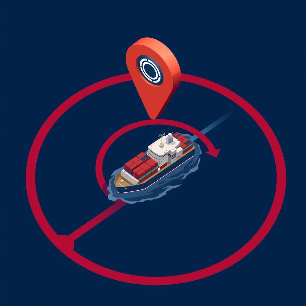
From jamming to 'Circle Spoofing': The escalation of avionics attacks
Brute-force jamming—blasting noise on the L1 frequency—is crude. The real threat to capital assets is "smart" spoofing. Recent incidents documented by OPSGROUP reveal a shift toward "Circle Spoofing," where an aircraft’s navigation system is manipulated to believe it is flying in a circle, or worse, drifting toward hostile airspace.
This is not a glitch; it is a capture of the aircraft's reality. Modern avionics rely on the assumption that GNSS signals are truthful. When that trust is violated, the Inertial Reference System (IRS) eventually drifts, and the Synthetic Vision Systems (SVS) used by pilots show terrain that isn't there. For a logistics fleet, this means that even if the physical airspace is open, the digital airspace is mined.
The Insurance Exodus: Why Underwriters Are Abandoning the Hull
The venture capital community often ignores the actuarial sciences, but right now, marine and aviation war-risk underwriters are the canaries in the coal mine. They are exiting the market because the data they use to price risk has been corrupted.
Calculated risk vs. blind gambling
Insurance is a game of probability based on location. A ship in international waters pays Rate X; a ship in a War Risk Area pays Rate Y. GNSS spoofing destroys the mechanism of verification. If a vessel's AIS (Automatic Identification System) transponder reports it is in safe waters while it is actually drifting into a blockade zone due to spoofed GPS, the underwriter cannot assess the risk.
We are seeing a bifurcation in the market. Top-tier insurers are demanding "spoof-proof" verification before binding coverage, while lower-tier insurers are exiting the hull machinery class entirely. The result is a volatility premium that gets passed directly to the cost of goods sold (COGS).
The 'Breach of Warranty' triggers
The legal fallout will be immense. Most war-risk policies contain strict warranty zones. Consider this scenario: A captain relies on compromised GPS, inadvertently crosses into a "Excluded Zone," and the vessel is struck. The insurer denies the claim based on a breach of warranty. The operator argues force majeure via electronic warfare.
Beyond GPS: The Desperate Scramble for Alternative PNT
The monopoly of GPS is over. The United States Air Force provided a free global utility for decades, and commerce became addicted to it. Now that the signal is contested, the market is scrambling for Alternative Positioning, Navigation, and Timing (Alt-PNT). This is the single most urgent hardware investment thesis for the remainder of the decade.
Resurrecting the Inertial Navigation System (INS)
We are seeing a renaissance in "dead reckoning." High-end military navigators have always used ring laser gyroscopes to track position without satellites. The challenge is miniaturizing this for commercial fleets and drones.
Startups focusing on Quantum Inertial Sensors and MEMS (Micro-Electro-Mechanical Systems) accelerometers are currently the only hedge against GPS denial. If a vessel can maintain sub-meter accuracy for 48 hours without a single satellite handshake, it is immune to the primary vector of War-Risk Logistics Compression. The unit economics of these sensors are dropping, moving from missile-grade pricing to commercial viability.
LEO Satellites and magnetic navigation as the new fallback layer
Low Earth Orbit (LEO) constellations like Starlink and OneWeb are inadvertently becoming the backup layer for global timing. Because their signals are stronger and distinct from the GPS L1/L5 bands, they offer a signal of opportunity for navigation.
Simultaneously, Magnetic Navigation (MagNav)—using the Earth's magnetic crustal anomalies as a map—is moving from research labs to pilot programs. Unlike radio signals, magnetic fields cannot be easily jammed or spoofed from a distance. The company that standardizes the "magnetic map" of the world holds the keys to the next generation of autonomous logistics.
Geopolitical Strangulation: The Strategic Weaponization of Logistics Data
The fragmentation of global positioning is a feature, not a bug, of the current geopolitical landscape. By degrading the reliability of GPS in specific corridors, state actors force reliance on their own systems or simply paralyze their adversaries' supply chains.
Data integrity as a theater of war
Spoofing is not just about moving a dot on a map; it is about injecting chaos into the global Just-In-Time (JIT) machine. If a major logistics integrator cannot trust the ETA of 20% of its fleet because of signal interference, the JIT model collapses. Inventory buffers must increase, warehousing demand spikes, and working capital gets tied up in stock. This is an economic siege tactic disguised as electronic noise.
The fragmentation of global positioning standards
We are moving toward a splinternet of navigation. China’s BeiDou and Russia’s GLONASS are being marketed to the Global South not just as alternatives, but as sovereign requirements for trade integration. We expect to see "Navigation Nationalism" where port entry requires compatibility with specific, non-Western GNSS standards, forcing shipping lines to carry multi-receiver stacks that further complicate the cybersecurity landscape.
Map of Incentives
Who benefits from the compression of logistics corridors?
-
Winners:
- Alt-PNT Startups: Companies building quantum sensors, magnetic nav, and celestial navigation tech.
- Private Maritime Security: Firms offering physical escorts and electronic counter-measures.
- Rail & Air Freight (selectively): Routes that bypass the Middle East/Red Sea (e.g., Arctic routes or trans-Africa) gain premium pricing power.
-
Losers:
- Legacy Insurers: Those unable to price the "spoofing risk" will face catastrophic loss ratios.
- JIT Retailers: Fast fashion and automotive sectors relying on predictable 14-day shipping windows.
- Sovereign Debt: Nations like Egypt (Suez Canal revenue) face balance-of-payment crises as traffic reroutes to the Cape of Good Hope.
What Would Change My Mind?
I would reconsider the severity of this thesis if two things happen: First, if the cost of military-grade Anti-Jam antennas (CRPA) drops low enough to be standard on every merchant vessel and cargo plane. Second, if a global treaty establishes "Electronic Safe Passage" similar to the laws of the sea, though given the current trajectory of asymmetric warfare, the probability of adherence to such a treaty is near zero.
The Cost of Redundancy is Permanent
Cheap global connectivity relied on the assumption of safe passage. With that assumption shattered by signal warfare and airspace closures, the cost of goods sold must now permanently absorb the price of navigational redundancy.
We are no longer just moving boxes; we are navigating a minefield of data. The companies that survive will not be the ones with the biggest ships, but the ones that can navigate the dark.
FAQ
What is war-risk logistics compression? It is the phenomenon where geopolitical conflict physically closes transport routes while electronic warfare (GPS spoofing) simultaneously renders remaining corridors digitally unsafe, forcing traffic into narrow, high-risk, expensive funnels.
How does GNSS spoofing affect war-risk insurance premiums? Spoofing blinds the tracking systems insurers rely on to verify a vessel's location. When underwriters cannot verify if a ship is inside or outside a combat zone, they either drastically hike premiums to cover the uncertainty or cancel coverage entirely.
Sources
- European Union Aviation Safety Agency (EASA) - GNSS Spoofing Alerts
- OPSGROUP - Flight Operations & Spoofing Reports
- Lloyd's Market Association - Joint War Committee (JWC) Listed Areas
- U.S. Maritime Administration (MARAD) - Advisories
- International Maritime Organization (IMO) - Maritime Cyber Risk Management
Related
View all →